File:Wavehawk 18 map.jpg
From Guild Wars 2 Wiki
Jump to navigationJump to search
No higher resolution available.
Wavehawk_18_map.jpg (493 × 457 pixels, file size: 33 KB, MIME type: image/jpeg)
Summary[edit]
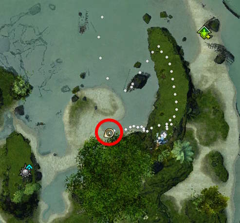
Breezy Cay, south of Hullgarden Pier Waypoint.
Licensing[edit]
| This screenshot contains property of ArenaNet or NCSoft which is used with permission. The terms of the permission do not include third party use. It is not released under the GFDL. Please see Guild Wars 2 Wiki:Copyrights for further information. |
File history
Click on a date/time to view the file as it appeared at that time.
| Date/Time | Thumbnail | Dimensions | User | Comment | |
|---|---|---|---|---|---|
| current | 21:38, 31 October 2025 | | 493 × 457 (33 KB) | Continuum Splat (talk | contribs) | |
| 21:32, 31 October 2025 |  | 493 × 457 (33 KB) | Continuum Splat (talk | contribs) | Breezy Cay, south of Hullgarden Pier Waypoint. |
You cannot overwrite this file.
File usage
The following page uses this file: