Category:Cursed Shore area maps
From Guild Wars 2 Wiki
Jump to navigationJump to search
Media in category "Cursed Shore area maps"
The following 19 files are in this category, out of 19 total.
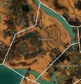
 Azabe Qabar, the Royal Tombs map.jpg 1,096 × 769; 465 KB
 Cathedral of Silence map.jpg 1,130 × 1,126; 510 KB
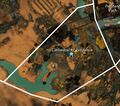 Cathedral of Verdance map.jpg 786 × 693; 339 KB
 Compass Plaza map.jpg 824 × 1,234; 264 KB
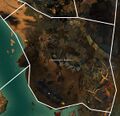
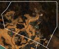
 Craven Blight map.jpg 1,176 × 692; 215 KB
 Desmina's Hallows map.jpg 1,170 × 1,134; 578 KB
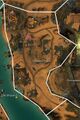
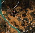 Fields of Gold map.jpg 1,398 × 1,311; 534 KB
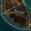
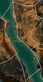
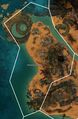
 Graven Cay map.jpg 991 × 1,598; 365 KB
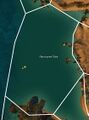 Harrowed Sea map.jpg 834 × 1,128; 134 KB
 Mausollus Sea map.jpg 1,287 × 870; 268 KB
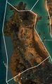
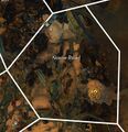 Noose Road map.jpg 651 × 675; 122 KB
 Penitent Path map.jpg 455 × 720; 203 KB
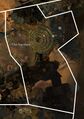
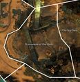 Promenade of the Gods map.jpg 805 × 834; 183 KB
 Pursuit Pass map.jpg 1,313 × 1,106; 716 KB
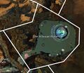 The Artesian Waters map.jpg 774 × 680; 262 KB
 The Narthex map.jpg 671 × 952; 161 KB
 The Shipyard map.jpg 1,062 × 1,987; 444 KB
 Winterknell Isle map.jpg 1,064 × 1,102; 316 KB
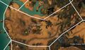
 Winterknell Shore map.jpg 1,098 × 1,680; 443 KB


