Category:Dredgehaunt Cliffs area maps
From Guild Wars 2 Wiki
Jump to navigationJump to search
Media in category "Dredgehaunt Cliffs area maps"
The following 28 files are in this category, out of 28 total.
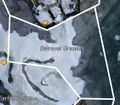 Betrayal Grounds map.jpg 561 × 490; 73 KB
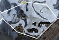 Black Earth Coalmine map.jpg 638 × 429; 81 KB
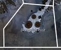 De Molish Post map.jpg 436 × 355; 41 KB
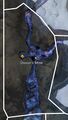 Dissun's Mine map.jpg 498 × 877; 159 KB
 Dociu Excavation map.jpg 932 × 489; 197 KB
 Dostoev Sky Peak map.jpg 1,012 × 1,094; 427 KB
 Forsaken Halls map.jpg 695 × 373; 107 KB
 Frostland Melt map.jpg 896 × 1,264; 244 KB
 Graupel Kohn map.jpg 1,148 × 1,088; 485 KB
 Heimdahl's Last Stand map.jpg 834 × 978; 193 KB
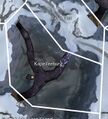 Kapellenburg map.jpg 574 × 635; 146 KB
 Kolkorensburg map.jpg 720 × 642; 187 KB
 Mountain's Tail map.jpg 752 × 1,152; 343 KB
 Nakrojos Pass map.jpg 1,007 × 798; 148 KB
 Rat's Run map.jpg 475 × 612; 59 KB
 Ratatosk map.jpg 689 × 1,028; 255 KB
 Snowslide Ravine map.jpg 777 × 732; 197 KB
 Spearhead Bane map.jpg 603 × 686; 103 KB
 Steelbrachen map.jpg 901 × 887; 285 KB
 The Grey Road map.jpg 1,122 × 1,044; 247 KB
 The Wide Expanse map.jpg 1,310 × 731; 351 KB
 Theign Spiritwalk map.jpg 704 × 1,018; 146 KB
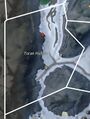 Toran Hollow map.jpg 582 × 771; 92 KB
 Tribulation Caverns map.jpg 363 × 702; 106 KB
 Tribulation Rift map.jpg 721 × 700; 223 KB
 Troll's Teeth map.jpg 1,026 × 908; 174 KB
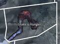 Ulukk's Hunger map.jpg 467 × 345; 63 KB
 Wyrmblood Lake map.jpg 633 × 1,305; 295 KB


