Category:Fields of Ruin area maps
From Guild Wars 2 Wiki
Jump to navigationJump to search
Media in category "Fields of Ruin area maps"
The following 26 files are in this category, out of 26 total.
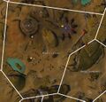
 Axedrag Cut map.jpg 755 × 806; 174 KB
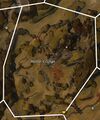
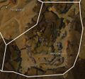
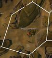 Belag Crossroads map.jpg 709 × 786; 125 KB
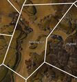
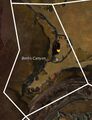 Bento Canyon map.jpg 633 × 826; 233 KB
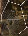 Blackwing Excavation map.jpg 576 × 725; 121 KB
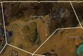
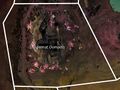 Dragonrot Domains map.jpg 793 × 598; 226 KB
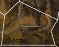 Flameroot Caverns map.jpg 729 × 588; 217 KB
 Gillfarn Plains map.jpg 1,221 × 645; 179 KB
 Grimm Hills map.jpg 826 × 1,081; 227 KB
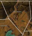 Halkor Meadows map.jpg 779 × 862; 158 KB
 Hautclaire Vale map.jpg 1,103 × 930; 242 KB
 Highden Caves map.jpg 551 × 848; 228 KB
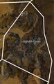
 Hunter's Gorge map.jpg 733 × 879; 332 KB
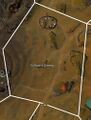
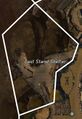 Last Stand Shelter map.jpg 449 × 653; 135 KB
 Mithric Cliffs map.jpg 1,039 × 841; 393 KB
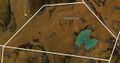
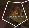 Secluded Glen map.jpg 315 × 307; 28 KB
 Sniper's Woods map.jpg 951 × 923; 214 KB
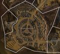 Stronghold of Ebonhawke map.jpg 1,509 × 1,355; 1 MB
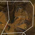 Tanglerot Hills map.jpg 792 × 783; 155 KB
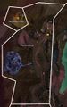
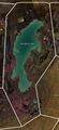 Tenaebron Lake map.jpg 785 × 1,716; 284 KB
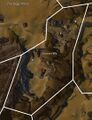
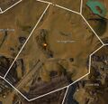
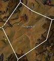 The Ogre Road map.jpg 734 × 831; 151 KB
 The Siege Plains map.jpg 1,130 × 1,080; 273 KB
 Thunderbreak Hills map.jpg 1,390 × 933; 535 KB
 Varim's Run map.jpg 743 × 1,188; 369 KB
 Vulture's Sweep map.jpg 761 × 1,003; 172 KB
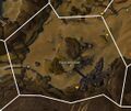
 Warrior's Crown map.jpg 1,196 × 1,145; 622 KB
 Wildlin Narrows map.jpg 1,080 × 997; 477 KB


