Category:Harathi Hinterlands area maps
From Guild Wars 2 Wiki
Jump to navigationJump to search
Media in category "Harathi Hinterlands area maps"
The following 25 files are in this category, out of 25 total.
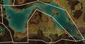
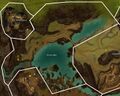 Arca Lake map.jpg 1,432 × 1,147; 691 KB
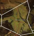
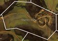
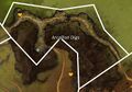 Arcallion Digs map.jpg 765 × 534; 182 KB
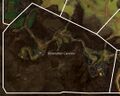 Bonerattler Caverns map.jpg 1,082 × 864; 370 KB
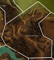 Cloven Hoof Pass map.jpg 867 × 958; 375 KB
 Diremane Woods map.jpg 688 × 743; 233 KB
 Faun's Gap map.jpg 900 × 710; 291 KB
 Greenflin Plateau map.jpg 983 × 886; 370 KB
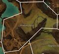
 Greystone Rise map.jpg 1,168 × 1,046; 527 KB
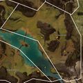
 Guardian Lake map.jpg 1,822 × 942; 640 KB
 Hangman's Saddle map.jpg 889 × 637; 246 KB
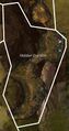 Hidden Ourobon map.jpg 489 × 927; 211 KB
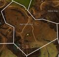 High Timber Claim map.jpg 999 × 971; 436 KB
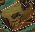
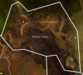 Modniir Gorge map.jpg 909 × 826; 321 KB
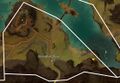
 Nightguard Beach map.jpg 999 × 566; 242 KB
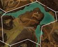
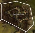 Ourobore Caves map.jpg 594 × 547; 156 KB
 Ruins of Holy Demetra map (interior).jpg 679 × 1,069; 284 KB
 Ruins of Holy Demetra map.jpg 679 × 1,069; 318 KB
 Shieldbluff Point map.jpg 1,102 × 760; 319 KB
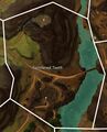 Splintered Teeth map.jpg 727 × 901; 276 KB
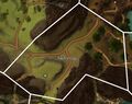
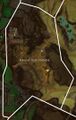
 Stoneman's Notch map.jpg 945 × 869; 341 KB
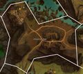
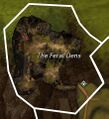 The Feral Dens map.jpg 437 × 479; 104 KB
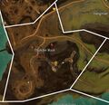 Thunder Rock map.jpg 859 × 829; 306 KB
 Trebuchet Bend map.jpg 1,120 × 916; 410 KB
 Wildspine Hills map.jpg 1,343 × 1,347; 712 KB
 Wynchona Woods map.jpg 970 × 1,285; 502 KB


.jpg)


