Category:Kessex Hills area maps
From Guild Wars 2 Wiki
Jump to navigationJump to search
Media in category "Kessex Hills area maps"
The following 25 files are in this category, out of 25 total.
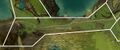 Alakess Ledge map.jpg 1,253 × 518; 260 KB
 Blackroot Cut map.jpg 798 × 619; 231 KB
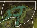
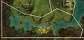
 Cereboth Canyon map.jpg 859 × 1,598; 626 KB
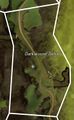 Darkwound Defile map.jpg 462 × 748; 144 KB
 Delanian Foothills map.jpg 834 × 665; 260 KB
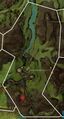
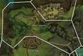
 Dominion Killing Zone map.jpg 911 × 917; 370 KB
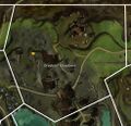
 Draithor's Demesnes map.jpg 394 × 578; 105 KB
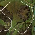
 Earthlord's Gap map.jpg 1,113 × 803; 351 KB
 Earthworks Bluff map.jpg 1,000 × 1,004; 436 KB
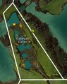 Eukaryan Caves map.jpg 579 × 728; 194 KB
 Fort Salma map.jpg 748 × 406; 143 KB
 Giant's Passage map.jpg 798 × 1,095; 381 KB
 Greyhoof Meadows map.jpg 978 × 942; 403 KB
 Halacon Cataracts map.jpg 1,266 × 868; 518 KB
 Lychcroft Mere map.jpg 1,589 × 769; 554 KB
 Manefire Hills map.jpg 713 × 947; 278 KB
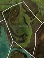
 Meremoot Hill map.jpg 994 × 577; 248 KB
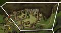
 Overlord's Greatcamp map.jpg 961 × 649; 281 KB
 Sojourner's Way map.jpg 1,219 × 705; 368 KB
 Thunder Ridge map.jpg 1,144 × 565; 290 KB
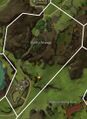
 Triskellion Vale map.jpg 1,051 × 1,114; 486 KB
 Viath Shore map.jpg 619 × 1,210; 311 KB
 Viathan Lake map.jpg 1,000 × 1,802; 734 KB
 Viathan's Arm map.jpg 1,180 × 1,144; 544 KB
 Wizard's Fief map.jpg 674 × 864; 254 KB


