Category:Queensdale area maps
From Guild Wars 2 Wiki
Jump to navigationJump to search
Media in category "Queensdale area maps"
The following 26 files are in this category, out of 26 total.
 Altar Brook Vale map.jpg 1,291 × 1,116; 607 KB
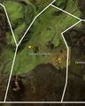
 Altar's Windings map.jpg 460 × 880; 179 KB
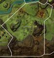
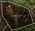 Bandithaunt Caverns map.jpg 783 × 683; 233 KB
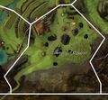
 Beetletun Farms map.jpg 822 × 839; 160 KB
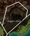 Beggar's Burrow map.jpg 407 × 482; 91 KB
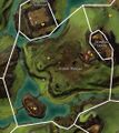
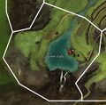 Clayent Falls map.jpg 770 × 759; 131 KB
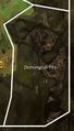 Demongrub Pits map.jpg 427 × 750; 131 KB
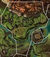
 Eastern Divinity Dam map.jpg 1,130 × 451; 128 KB
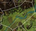
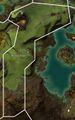
 Godslost Swamp map.jpg 1,298 × 1,354; 380 KB
 Krytan Freeholds map.jpg 1,014 × 1,038; 442 KB
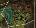
 Lake Delavan map.jpg 804 × 868; 282 KB
 Orlaf Escarpments map.jpg 722 × 736; 128 KB
 Phinney Ridge map.jpg 842 × 1,351; 426 KB
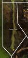 Pinion Trail map.jpg 419 × 863; 144 KB
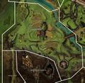
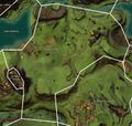 Queen's Forest map.jpg 1,461 × 1,384; 803 KB
 Salma's Heath map.jpg 753 × 1,063; 174 KB
 Scaver Plateau map.jpg 937 × 1,053; 435 KB
 Shaemoor Fields map.jpg 1,346 × 1,325; 760 KB
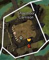 Shaemoor Garrison map.jpg 337 × 412; 46 KB
 Shire of Beetletun map.jpg 984 × 773; 335 KB
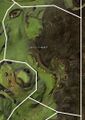
 Taminn Foothills map.jpg 717 × 896; 248 KB
 The Heartwoods map.jpg 1,144 × 1,232; 572 KB
 Township of Claypool map.jpg 784 × 722; 262 KB
 Village of Shaemoor map.jpg 1,228 × 1,424; 824 KB
 Western Divinity Dam map.jpg 916 × 486; 196 KB
 Windloss Delves map.jpg 428 × 425; 108 KB


