Category:Snowden Drifts area maps
From Guild Wars 2 Wiki
Jump to navigationJump to search
Media in category "Snowden Drifts area maps"
The following 26 files are in this category, out of 26 total.
 Darkhoof Heights map.jpg 712 × 536; 174 KB
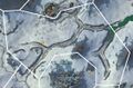
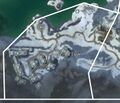
 Dragon's Rising map.jpg 1,080 × 882; 257 KB
 Glisterice Caves map.jpg 718 × 625; 179 KB
 Griffonfall map.jpg 805 × 619; 204 KB
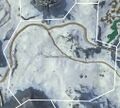
 Hrothgar's Pass map.jpg 1,391 × 755; 455 KB
 Hunter's Pitfalls map.jpg 553 × 914; 109 KB
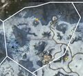
 Isenfall Gullies map.jpg 1,101 × 728; 205 KB
 Isenfall Lake map.jpg 909 × 1,514; 534 KB
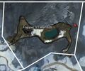
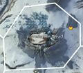 Jormabakke Stead map.jpg 510 × 451; 108 KB
 Jotun's Vista map.jpg 807 × 612; 135 KB
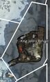 King Jalis's Refuge map.jpg 403 × 659; 115 KB
 Lornar's Gate map.jpg 978 × 876; 192 KB
 Molengrad map.jpg 698 × 500; 147 KB
 Oros Spurs map.jpg 851 × 940; 304 KB
 Ossencrest Climb map.jpg 653 × 848; 236 KB
 Owl's Abattoir map.jpg 969 × 1,265; 462 KB
 Reaver's Dale map.jpg 998 × 723; 318 KB
 Skradden Slopes map.jpg 836 × 1,175; 223 KB
 Song of Final Exile map.jpg 716 × 615; 176 KB
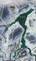
 The Frozen Sweeps map.jpg 1,016 × 911; 205 KB
 The Loneholme Range map.jpg 795 × 729; 141 KB
 Trapper's Labyrinth map.jpg 677 × 564; 156 KB
 Tromigar Valley map.jpg 1,363 × 962; 304 KB
 Valslake map.jpg 1,675 × 1,107; 690 KB
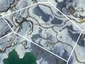
 Villmark Foothills map.jpg 729 × 416; 135 KB
 Vitpeln Hills map.jpg 935 × 793; 338 KB


