Category:Timberline Falls area maps
From Guild Wars 2 Wiki
Jump to navigationJump to search
Media in category "Timberline Falls area maps"
The following 28 files are in this category, out of 28 total.
 Bynebrachen map.jpg 672 × 1,246; 343 KB
 Candle Chimney map.jpg 600 × 798; 171 KB
 Fionnghuala Scratch map.jpg 684 × 847; 228 KB
 Fisher's Eye Bridges map.jpg 1,026 × 756; 272 KB
 Gentle River map.jpg 1,485 × 1,435; 770 KB
 Guilty Tears map.jpg 1,047 × 807; 328 KB
 Gyre Rapids map.jpg 940 × 771; 297 KB
 Hunting Banks map.jpg 910 × 548; 199 KB
 Krongar Pass map.jpg 853 × 927; 292 KB
 Lair of the Coil map.jpg 593 × 554; 125 KB
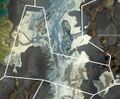
 Malorean Wilds map.jpg 592 × 494; 143 KB
 Mellaggan's Grotto map (underwater).jpg 1,199 × 963; 443 KB
 Mellaggan's Grotto map.jpg 1,195 × 622; 279 KB
 Molodets Excavation map.jpg 693 × 945; 278 KB
 Naui Waters map.jpg 818 × 731; 227 KB
 Nonmoa Lake map.jpg 1,181 × 946; 326 KB
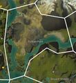 Pythian Point map.jpg 801 × 876; 293 KB
 Scale Strand map.jpg 427 × 837; 139 KB
 Sector Zuhl map.jpg 705 × 1,014; 314 KB
 Serpent Stones map.jpg 818 × 788; 259 KB
 Stromkarl Heights map.jpg 611 × 1,027; 254 KB
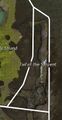 Tail of the Serpent map.jpg 374 × 724; 105 KB
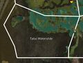 Talus Waterslide map.jpg 740 × 561; 164 KB
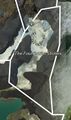 The Foundation Stones map.jpg 409 × 692; 117 KB
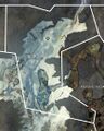 The Iron Veil map.jpg 826 × 1,034; 341 KB
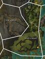 Tyrant's Mount map.jpg 656 × 858; 257 KB
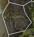 Ural's Delve map.jpg 569 × 607; 143 KB
 White Paper Hill map.jpg 1,142 × 940; 441 KB


.jpg)


